UNHCR and Google Earth unveil programme for humanitarian operations
UNHCR and Google Earth unveil programme for humanitarian operations

GENEVA, April 8 (UNHCR) - Representatives of the UN refugee agency and Google on Tuesday unveiled a powerful new online mapping programme that provides an up-close and multifaceted view of some of the world's major displacement crises and the humanitarian efforts aimed at helping the victims.
The "Google Earth Outreach" programme gives UNHCR and other humanitarian agencies the ability to use Google Earth and Maps to highlight their work on behalf of millions of refugees and other populations of concern in some of the world's most remote and difficult areas.
"It's absolutely fantastic. The potential for us and the potential to serve our interests and to serve the refugee interests round the world is quite substantial and we need now only seize the opportunity and move ahead with it," Deputy High Commissioner for Refugees L. Craig Johnstone told more than 250 staff and invited guests at a launch ceremony in the atrium of UNHCR's Geneva headquarters. "I think we will all be beneficiaries of it at the end of the day."
Johnstone said the pilot UNHCR layers, which went live on Google Earth Outreach earlier Tuesday, made it possible for staff and clients to zoom in on specific refugee situations. He said the tool would be particularly useful in extending UNHCR's outreach and visibility as well as for its own internal administration.
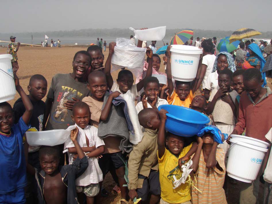
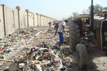
The UNHCR layers, which were compiled by technical and editorial staff within the agency's communications service, currently focus on three of the refugee agency's global operations - Chad/Darfur, Colombia and Iraq - but plans are under way to expand.
"In 2008, we are going to spread around the world and try and capture all of the major sites and make sure that they are all available so that people can see what the actual situation is on the ground," Johnstone said. "It will make it possible to bring that suffering [of refugees in harsh environments] to people, so people can understand where the responsibilities actually are," he added.
"We're very excited to participate with UNHCR," Rebecca Moore, manager and founder of Google Earth Outreach, told the audience, before giving them a demonstration of the tool and showing them some of the new UNHCR layers. "The idea is to take an abstract concept - refugees in some country that people have never visited and may in fact never visit and take them there virtually - so that they can get an intuitive understanding of what the real issues are," she said.
Google's outreach programme provides humanitarian agencies with the skills and resources to use Google Earth and Maps to highlight their work to a mass audience. The agencies can overlay text, audio and video information onto Google Earth in the so-called layers, enabling them to explain and illustrate their humanitarian work to a worldwide audience.
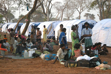
Moore said she was "very impressed" by UNHCR's layers. These show three levels of detail. The first provides an overview of UNHCR itself and takes the user on a journey to Chad/Darfur, Colombia and Iraq operations. The impact on neighbouring countries is also explored, and refugee camp locations are highlighted on the Google Earth maps.
The second layer brings the user even closer to the life of those in exile, exploring such elements as refugee health, education, water and sanitation. Pop-up windows linked to precise geographical points in camps and refugee communities provide written explanations, photos and videos of specific needs and operations. The third level, the "macro-view," takes the online visitor right down to the local level within a refugee camp, allowing examination of schools, water points and other infrastructure found in a typical site.
UNHCR's technical experts say that as it grows, the Google Earth programme will allow UNHCR and its humanitarian partners to build and share with each other a visual, geographic record of their joint efforts on the ground to help refugees. This could include, for example, cross-border mapping of population flows as well as the location of displaced people in relation to their places of origin - useful data in logistical planning for eventual repatriation operations.
Also speaking at the Geneva launch was the Afghanistan-born photographer Zalmaï, himself a former refugee. "It's our duty to give them some hope," he said, as haunting images from his recent trip to Afghanistan appeared on a big screen behind him.
Google Earth has enjoyed spectacular success since its launch in mid-2005; some 350 million people around the world have downloaded it to date. Moore and other humanitarians in Google developed the idea of the Outreach programme, which has attracted great interest since its launch last year.
By Leo Dobbs in Geneva